Order #: CCP5750
ISBN13: 978-1-55319-308-1
Grades: 5, 6, 7, 8
Reading Level: 3-4
Total Page: 60
Author: Irene Evagelelis & David McAleese
Tweet
Description
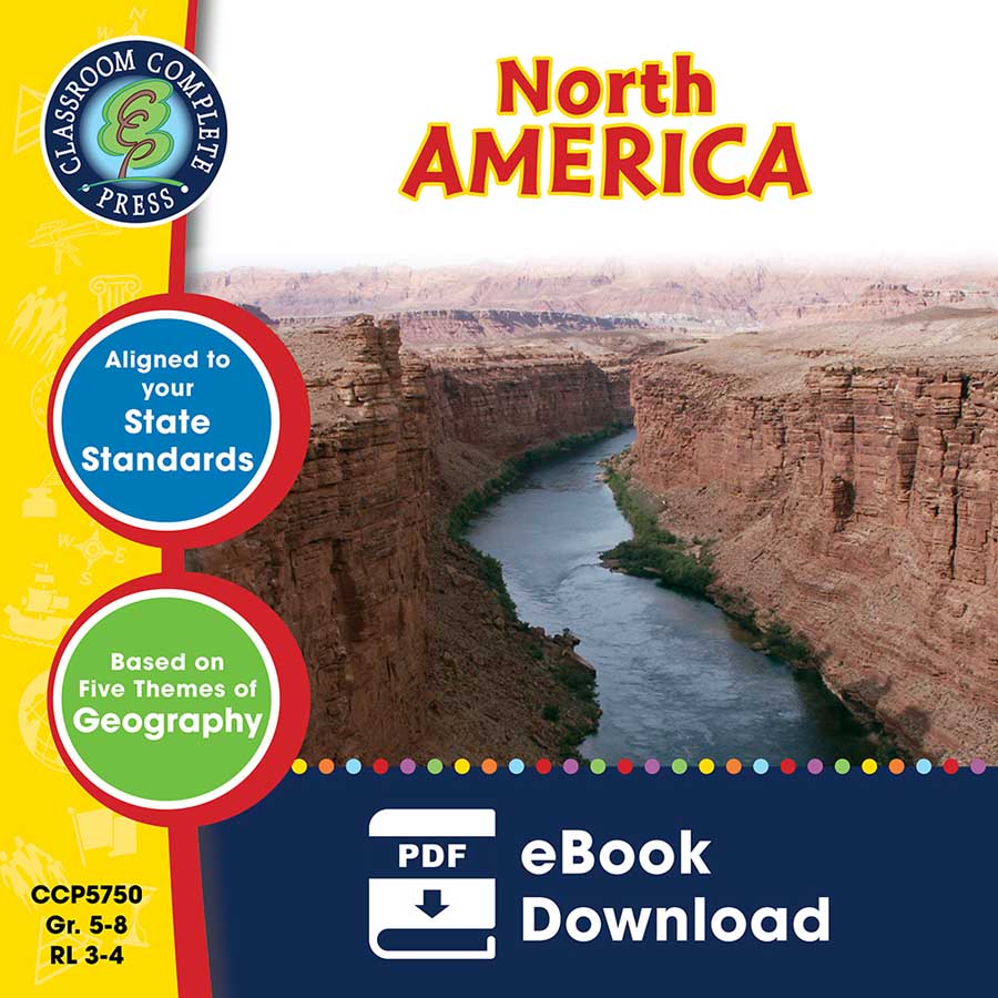
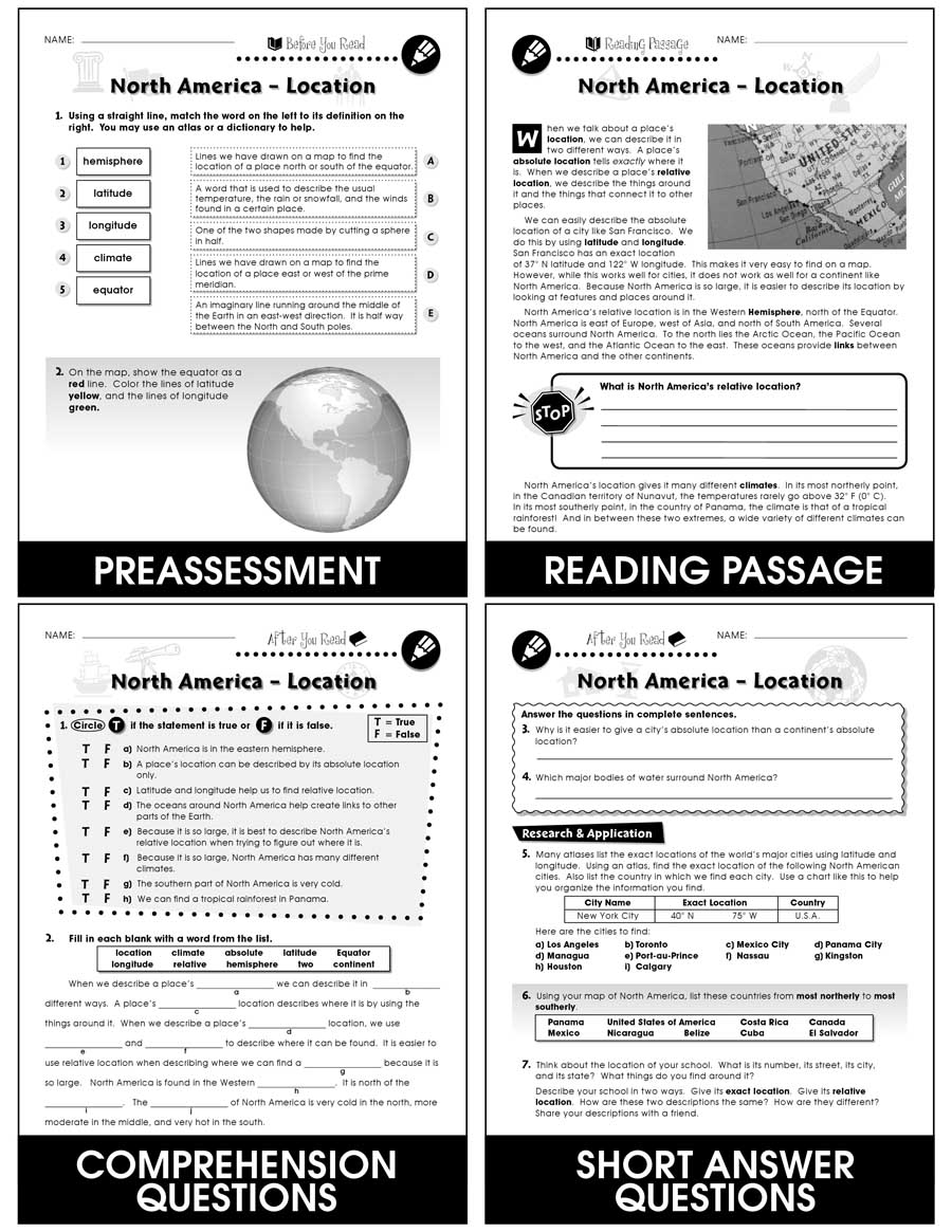
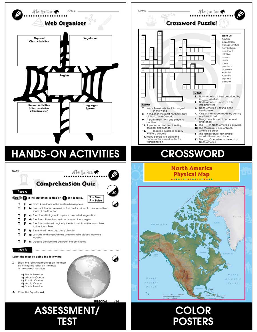
Travel from the northern tundra all the way down to the Yucatan Peninsula while exploring North America. See the physical features that characterize the continent on a map. Find countries in North America and list them in order of most northerly to most southerly. Locate where many of North America's largest cities were developed and why they were set up there. Decide whether a situation is either a positive or a negative human/environment interaction based on the scenario. Compare the different kinds of transportation used on a fishbone graphic organizer. Collect facts about the Rocky Mountains, like physical characteristics and vegetation on a web organizer. Review a detailed region map of the United States to see transportation routes from one end to the other. Aligned to your State Standards and the Five Themes of Geography, additional maps, crossword, word search, comprehension quiz and answer key are also included.
************************************************************************
View Similar Titles:
► South America
► The Americas - BIG BOOK
► Europe
► Africa
► Asia
► Australia
► Antarctica
************************************************************************
View Similar Titles:
► South America
► The Americas - BIG BOOK
► Europe
► Africa
► Asia
► Australia
► Antarctica
Product Reviews
Beverly Frank
Great resource for studying North America.
Jamie Rudnicki
Loved this resource.
